
Burned Area
The latest version of Burned Area product is now generated using an improved burned area mapping algorithm and thus has a new designation. The new Burned Area product is generated using Collection 6 surface reflectance and contains fewer unclassified grid cells as a result of improvements in this upstream product. The new algorithm shows significant improvement in detection of small burns, has reduced omission errors, among other improvements in addition to expanded coverage.
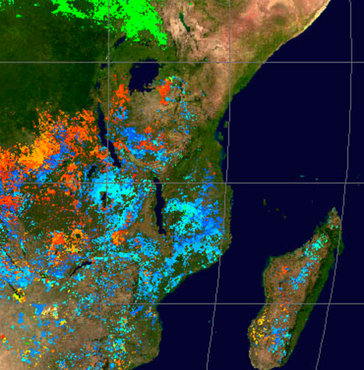
The MODIS Collection 6/6.1 burned-area mapping approach employs daily 500-m MODIS surface reflectance data coupled with 1-km MODIS active fire observations. The hybrid algorithm applies dynamic thresholds to composite imagery generated from a burn-sensitive vegetation index derived from MODIS short-wave infrared channels 5 and 7, and a measure of temporal texture. Cumulative active fire maps are used to guide the selection of burned and unburned training samples and to guide the specification of prior probabilities. The combined use of active-fire and reflectance data enables the algorithm to adapt regionally over a wide range of pre- and post-burn conditions and across multiple ecosystems.
Product PI: Louis Giglio
PI-maintained product web page
User Guide - C6.1
ATBD
See links below to the Product Description pages posted at the LP DAAC (product details, data access links, and more....)
Product NameBurned Area Monthly L3 Global 500m (MCD64) |
Combined Terra & Aqua Product ID |
Product References
Giglio, L., Boschetti, L., Roy, D., Humber, M. and Justice, C.O., The Collection 6 MODIS Burned Area Mapping Algorithm and Product, Remote Sensing of Environment, 217:72–85, https://doi.org/10.1016/j.rse.2018.08.005
